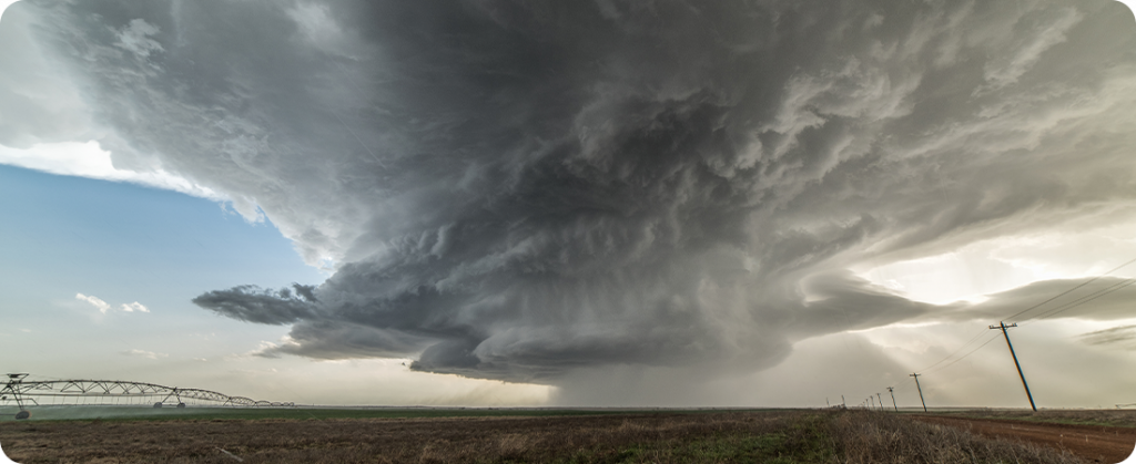
A frontal system with almost stationary characteristics was mainly responsible for the historic rainfall that triggered the floods in the center-north of Rio Grande do Sul last week. This is the explanation for the main factors that contributed to the disaster that occurred in the state, which affected 100 municipalities.
To give you an idea of the scale, in addition, it rained twice as much in five days as was historically recorded for the entire month of September.
The front caused the first precipitation on September 1st. Later, between the 2nd and 3rd, when it parked over Rio Grande do Sul, it maintained constant rain. On September 4, a low pressure system intensified the rain, absorbing moisture from the surface and lifting it to high altitudes.
Due to the volumes that fell between the 1st and 5th, several river basins recorded sudden flooding. The Taquari River rose quickly at the headwaters and in the middle third, and propagated a flood wave along its course. Data from the Geological Survey of Brazil, in Cemaden's technical note on Thursday (14), reveal a rapid increase in flood levels.
Thus, for the general coordinator of Operations and Modeling at Cemaden, Marcelo Seluchi, one of the possible explanations is El Niño. The phenomenon abnormally warms waters up to 100 meters deep from the Central Equatorial Pacific Ocean to the coast of Peru and Ecuador. Starting in mid-May, the phenomenon causes changes in winds and precipitation, modifying planetary atmospheric circulation.
Impact of El Niño on cold fronts and precipitation in the southern region of Brazil
Seluchi warns that El Niño has not yet reached maximum intensity and does not rule out that simulated situations could be repeated in the coming months. The forecast is for above-average rainfall for southern Brazil, at least until November.
One of the effects of this phenomenon in South America is the increase in rainfall in the South of Brazil and, in addition, drought in the North and Northeast regions. The phenomenon changes the behavior of frontal systems, which are regions where hot and cold air masses meet and are associated with the occurrence of rain. During El Niño, cold fronts are positioned more frequently over the southern region of Brazil and, therefore, precipitation becomes more frequent and voluminous.
“In El Niño years, the cold fronts stop more over the southern region”, says Seluchi. He explains that this is not a standard for all cold fronts, but there is a tendency for them to occur more frequently.
To understand why cold fronts 'station' over the region, it is important to understand another change caused by El Niño. Firstly, the increase in temperatures close to the Equator increases the thermal deference between equatorial and polar latitudes. As a result, this brings greater intensity and stability of the “jets”, which are channels of intense winds that occur in the upper atmosphere. As a result, these “jets” begin to control the behavior of cold fronts in a more significant way. Thus, for years, these jets tend to position themselves over the South region, causing a high frequency of frontal passages over this region and a greater rainfall accumulation.
Source: Notícias Agrícolas


